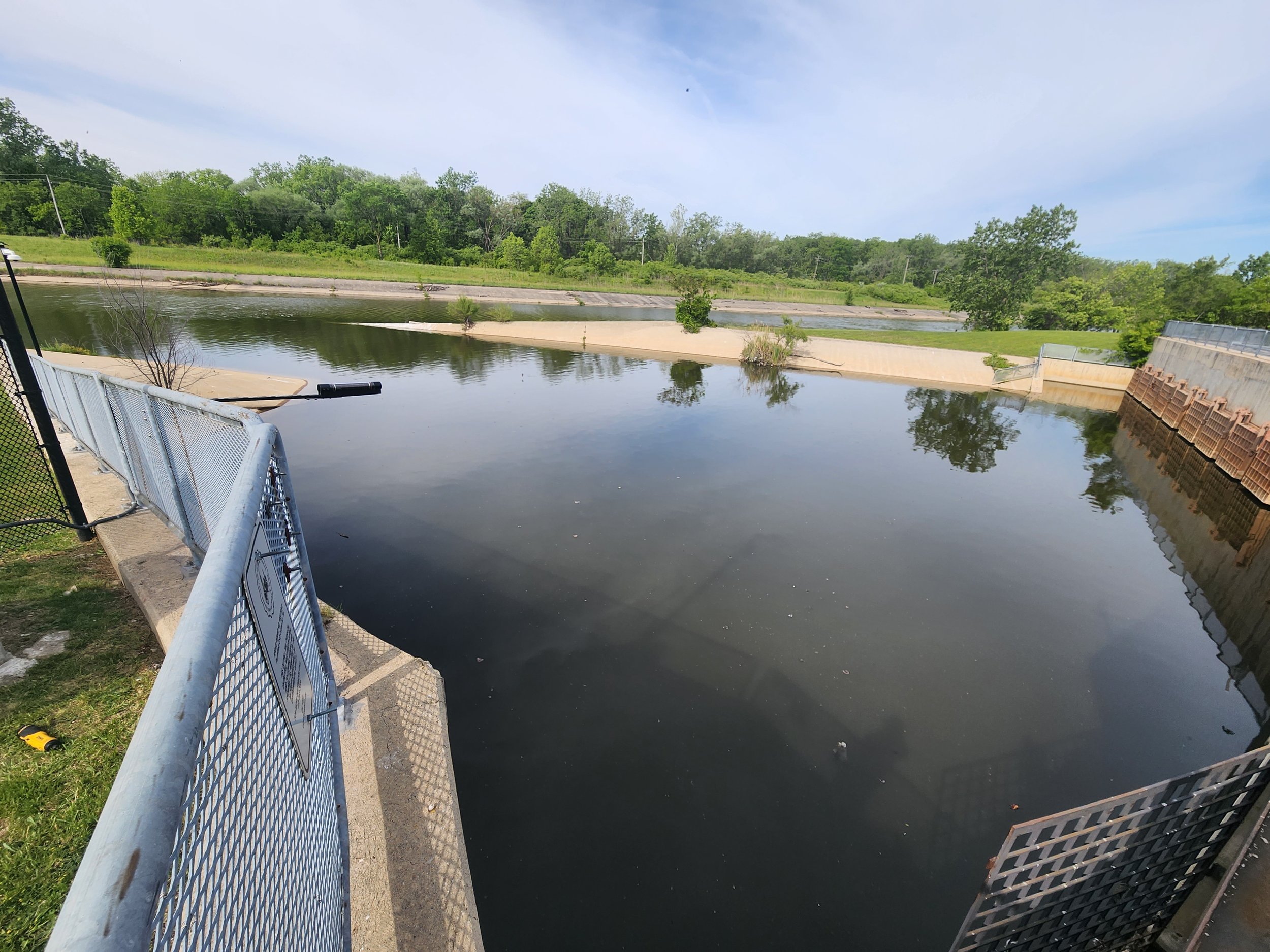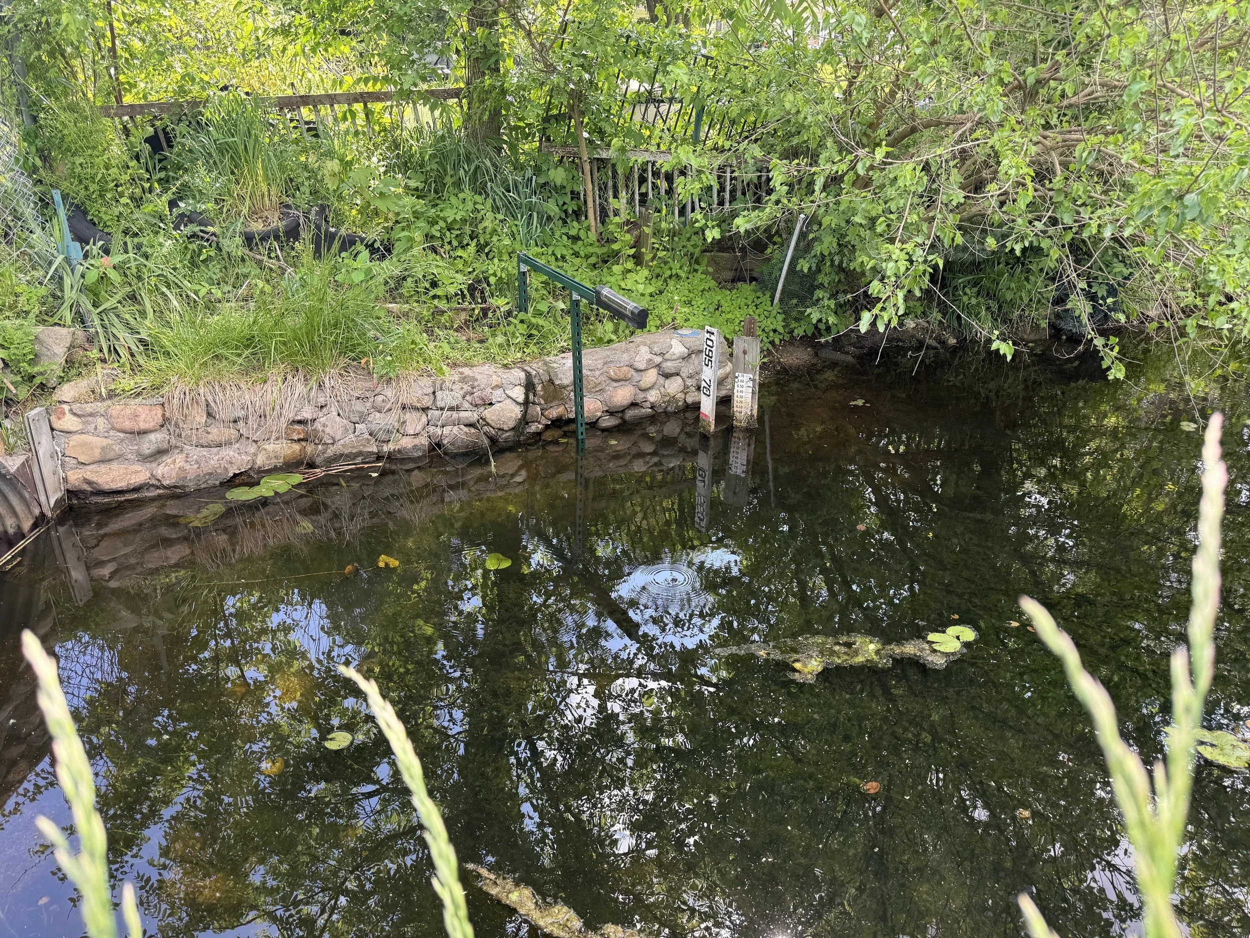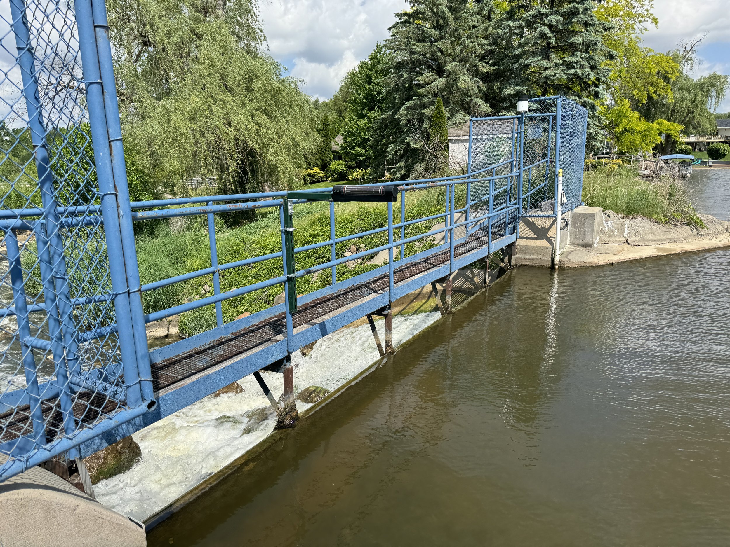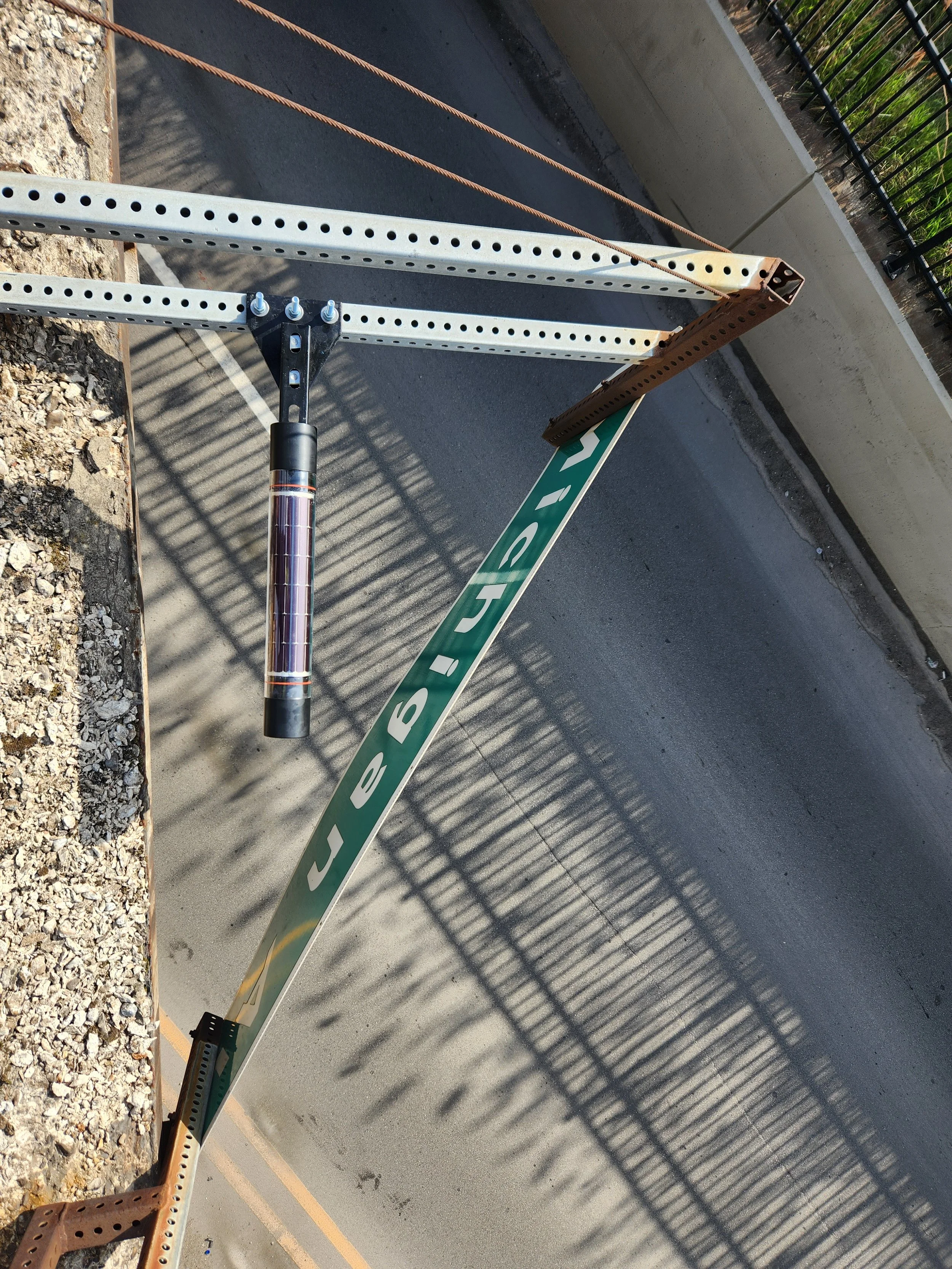
Respond to floods
& manage stormwater.
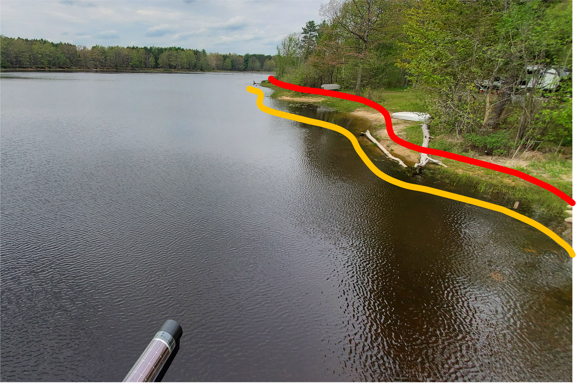
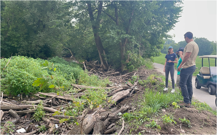
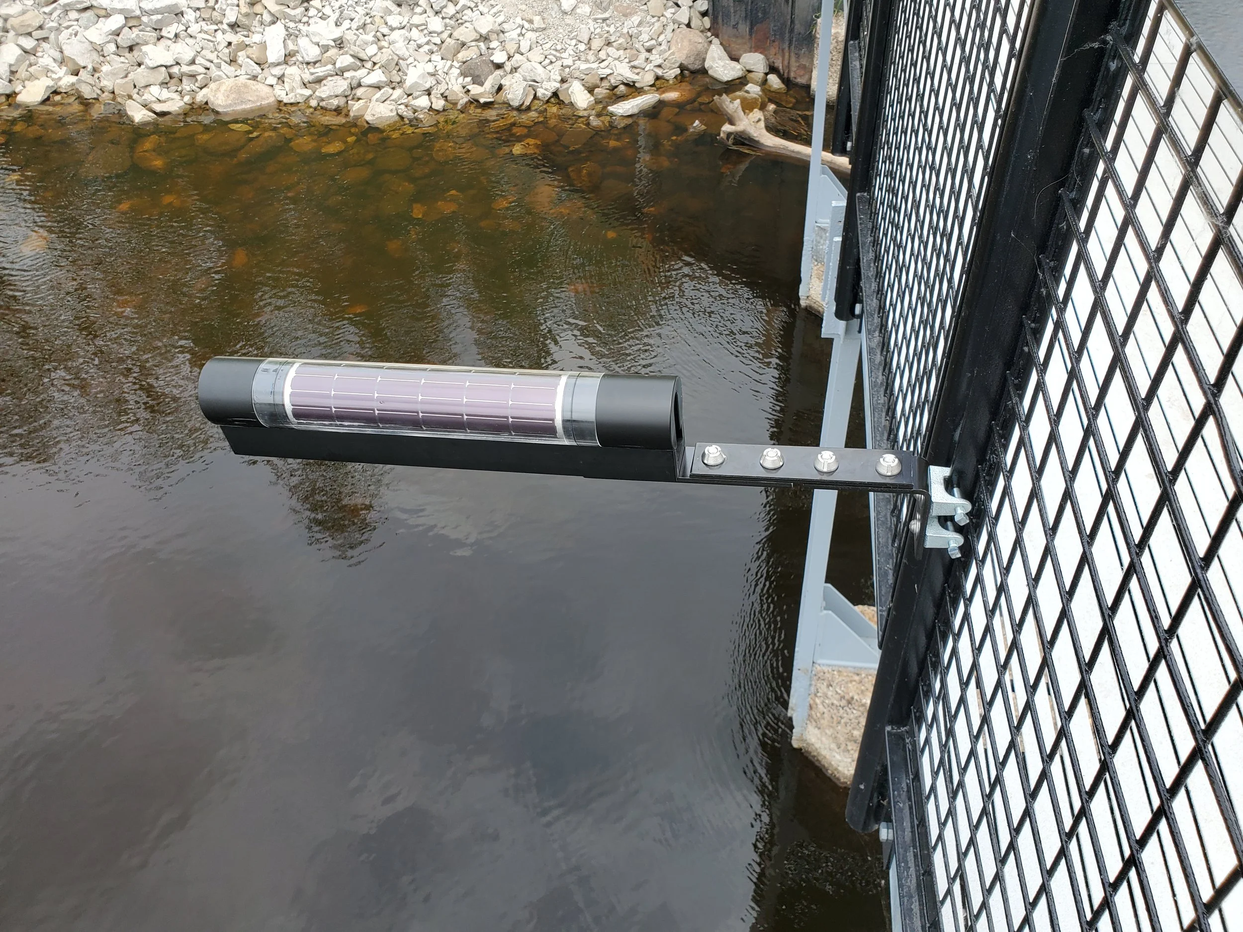
Hyfi comes with advanced tools and wireless monitors to help you manage stormwater assets, close roads promptly, and alert residents.
Trusted By Users Around the Country
Northeast Ohio Regional Sewer District
City of New Orleans
City of Dearborn
City of Toledo
Toledo Metroparks
Oceana County
Gratiot County
Kalamazoo County
Lenawee County
Berrien County
Chagrin River Watershed Partners
Allegan County
Hillsdale County
Roscommon County
OHM Advisors
US Army Corps of Engineers
Pinellas County
North Branch of Mill Creek Intercounty Drain Drainage District
Michigan Department of Natural Resources
US Fish & Wildlife Service
Ducks Unlimited
Mona Lake Committee
CT Consultants
City of Leslie
Village of Byron
Village of Carol Stream
Washtenaw County
Indian Lake Authority
Oakland County
Shiawassee River Water Trail Coalition
Northeast Ohio Regional Sewer District City of New Orleans City of Dearborn City of Toledo Toledo Metroparks Oceana County Gratiot County Kalamazoo County Lenawee County Berrien County Chagrin River Watershed Partners Allegan County Hillsdale County Roscommon County OHM Advisors US Army Corps of Engineers Pinellas County North Branch of Mill Creek Intercounty Drain Drainage District Michigan Department of Natural Resources US Fish & Wildlife Service Ducks Unlimited Mona Lake Committee CT Consultants City of Leslie Village of Byron Village of Carol Stream Washtenaw County Indian Lake Authority Oakland County Shiawassee River Water Trail Coalition
“I was raving about you to the mayor's office. It would have been such an inconvenience to the public if I had to shut down this bridge.
As a testament to what the service can do, you avoided the closure, because I had data that could prove it to the state.”
— Tim Hawkins, Director of Public Works, City of Dearborn
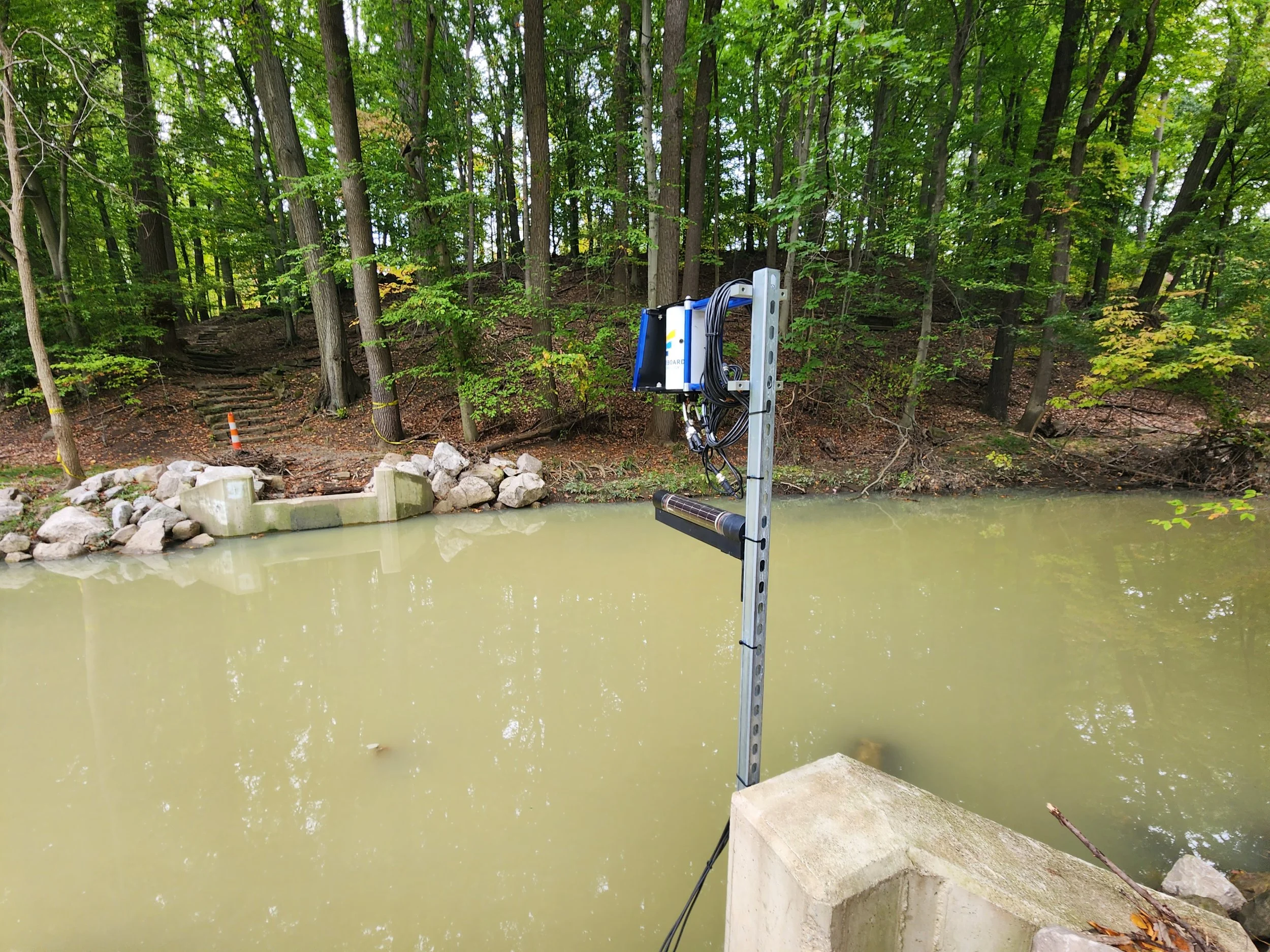
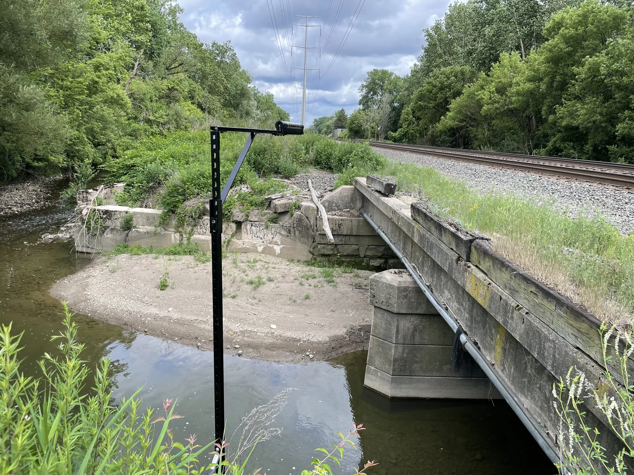
Easy to use wireless water level monitors make install and maintenance a breeze.
Apps for the field and for the desk.
AI and analytics to transform data into actionable insights.
Postcards from the field


